Characteristics of the sub-basin with available runoff data
|
Code |
K5 | |
| Length (km) | 515 | |
| Area (km2) | 46,066 | |
| Total Population 2001 (millions) | 13.46 | |
| Population Density 2001 (persons/km2) | 296 | |
| Annual Rainfall Runoff (P) | (mm) | 570 |
| (km3) | 31.1 | |
| Annual Runoff (Q) (km3) | 10.3 | |
| Runoff Coefficient (Q : P) | Observed | 0.33 |
| Predicted | 0.24 | |
| Curve | LM | |
| Potential Evaporation Ep (mm/yr) | 1,360 | |
| Aridity Index (Ep/P) | 2.4 |
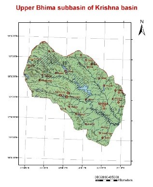
The catchment area for the sub-basins is the area between the gauging station
and the nearest upstream gauging stations (does not include the entire catchment area.
(Ref :
Closing of the Krishna Basin: Irrigation, Streamflow Depletion and
Macroscale Hydrology,
Research Report
111. IWMI)
Change in rainfall, runoff, and runoff coefficients for two time-periods, 1971-1974 and 1996-2001.
| Station |
Area (km2) |
Rainfall (mm) |
Runoff (mm) |
Rainfall: Runoff |
Change in Runoff km3 |
|||
| 71-74 | 96-01 | 71-74 | 96-01 | 71-74 | 96-01 | |||
|
Takali |
33,916 | 652 | 751 | 201 | 94 | 0.31 | 0.13 |
-3.63 |
The areas include the whole catchment area above the gauging station.